


Waterbeach Barracks Denny End Road Waterbeach
Cambridge
CB25 9PA
+44(0)1223861846


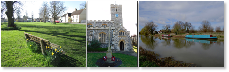
In modern times, Waterbeach – a busy, bustling village – is to be found between the main A10 road linking Kings Lynn and the cathedral city of Ely to Cambridge, and on south towards London, with the main railway line, connecting the same towns. The main A14 road which crosses East Anglia, linking the ports of Harwich and Felixstowe on the east coast with the industrial strongholds in the Midlands, runs between Waterbeach and the university city of Cambridge.

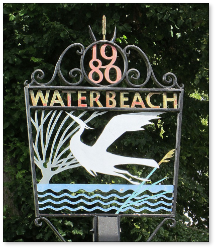
Waterbeach village
A settlement has probably existed here on the edge of the Fens since the Stone Age. Flint tools have been found in the area, but perhaps the earliest visible evidence of human occupation is the Car Dyke, to the south of the village. This was a Roman canal which linked the River Cam – which runs just to the east of Waterbeach – with the Roman garrison at Lincoln. It was an important supply route as well as assisting with land drainage. The Roman Akeman Street also forms part of the boundary of the village on its west side.
As the name suggests, water has always played an important part in Waterbeach life. The River Cam may have been the route used by Danish invaders when they sacked Cambridge in 870, and again in 1010. In peacetime, loaded barges passed this way. In the days before the drainage of the Fens, flooding was almost a yearly event. It caused the Franciscan nuns at Waterbeach Abbey - it was sited at the south of the village between what is now the railway and the church – to move to the north of Waterbeach to Denny Abbey, in 1345.